Industries
Pricing
Contact us
Log in
Make the most of your imagery
Host, analyze, and share your aerial imagery at scale. Deliver results your clients can easily understand.
14-day free trial — no credit card required

Click to expand

Meet Rasterly
Close the gap between your imagery and its value.
You've done the hard work — the flight, the processing, the analysis. But when it comes time to deliver, you're sending screenshots, attaching files that won't open, or asking clients to install software they never will.
Rasterly is the delivery layer your drone program is missing.
Upload your imagery, share a link, and let your clients actually explore it. They can inspect pixel-level values, review annotations, and visualize spectral indices right in their browser. No software to install or screenshots to export. Just a polished, interactive result that speaks for itself.
Industries
🌾
Agriculture
🌿
Conservation
🏗️
Construction
⛏️
Mining
🏡
Real Estate
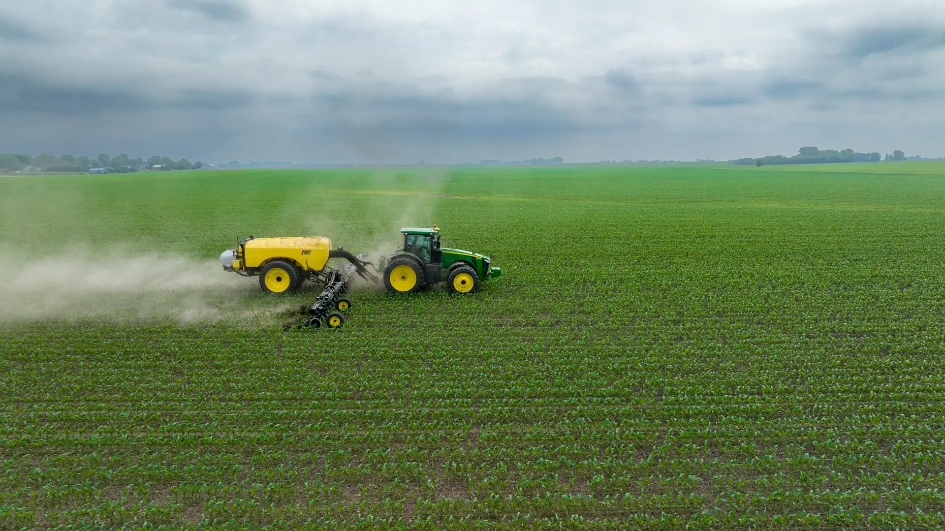
Agriculture
Stop emailing screenshots of your NDVI maps. Upload drone orthomosaics and multispectral imagery, configure vegetation indices with the right colormap, and share a link growers can open in any browser - no GIS software or file transfers. Inspect pixel-level NDVI, NDRE, or SAVI values directly on the map to identify stress zones and guide variable-rate prescriptions.
- Configure spectral indices with adjustable color options
- Inspect per-pixel index values to pinpoint crop stress zones
- Annotate fields with notes and share with agronomists and growers instantly
Scalability and visualization
Host and visualize imagery at global scale.
Most tools make you choose between size and flexibility. Rasterly doesn't. Upload datasets up to 200 GB and choose how each image is rendered: true-color composites, spectral indices calculated on the fly, categorical classifications, or single-band analysis with custom color options for each. One image, as many renderings as your work requires.
Rendering options:
- true color / RGB
- spectral index
- single band
- categorical
200 GB
Maximum file size
GeoTIFF / COG
Supported file formats

Pricing
Starter
For solo pilots and freelancers
$16
/ mo
10 GB storage
Advanced visualization options
Spectral index mapping
Annotation tools
Team
For growing drone operations
$64
/ mo
100 GB storage
GIS integration
3D terrain view
Collaboration tools
Pro
For professional studios
$280
/ mo
500 GB storage
Public projects
Priority support
Enterprise
For large organizations
Custom pricing
White-labeled platform
Custom domain
SSO / SAML
Cloud storage integration

Annotation
newAnnotate, collaborate, and take your findings further.
Raw imagery tells you what's there. Annotations tell you what it means. Draw points, lines, and polygons on your imagery to mark boundaries, flag anomalies, document findings, or build labeled training datasets for machine learning models. Bring in existing features via GeoJSON upload, share everything with your project collaborators, and export to GeoJSON or CSV when you're ready to hand off or move to the next step in your pipeline.
Collaboration
coming soonShare with anyone. Control who sees what.
Your imagery is only useful if the right people can see it. Invite collaborators with viewer, editor, or admin roles, or make a project public for anyone to access in the browser. No downloads, no software installs required. For teams already in QGIS or ArcGIS, Rasterly exposes your imagery as standard tile services that slot into existing workflows. And if you're building your own tools, the same tile services embed directly into custom websites and applications. One dataset, however your team needs to reach it.

The easiest way to host, visualize, and share drone and satellite imagery at scale. No coding or specialized software required.
Product
Industries
Pricing
Contact us
Legal
Privacy Policy
Terms of Service
© 2026 Rasterly, LLC. All rights reserved.
Privacy Policy
Terms of Service